
القصبة
Casbah of Algiers
From the sea she looks like a staircase of white climbing towards the sky. Houses lean on one another, alleys turn into stairs, and behind every silent door a courtyard opens to the light. This is the Casbah of Algiers, the heart of the city its people call El Bahdja.
UNESCO World Heritage
inscribed 1992
The shape of the place
A city built to climb
The Casbah occupies 54.7 hectares of steep ground between the sea and the citadel. Nothing in it is flat. Streets become stairs, houses lean into one another across the gap, and the whole fabric is organised around the one thing the hill cannot give you: a level, private, open square of sky.

The street that is a staircase
The upper Casbah is entirely pedestrian. No vehicle has ever reached most of its doors, which is exactly why the medieval street plan survived when the lower city was rebuilt.

The house that turns inward
Rooms wrap a courtyard on staggered levels, arcaded and tiled. The street sees a blank wall and a door. Everything the family owns faces the other way.

The roof that is a road
Terraces step down the slope almost continuously. For centuries they formed a second city above the first, and in 1957 they became escape routes.
The listing, in numbers
54.7Hectares inscribedThe area protected by UNESCO, bounded by the Ottoman ramparts of the late sixteenth century.
50,000People living insideNot a monument emptied for visitors. A World Heritage Site that is still somebody's address.
ii & vCriteria metRecognised for its influence on town planning across the western Mediterranean, and as an outstanding surviving settlement.
2,600Years of occupationFrom a Phoenician anchorage in the sixth century BC to the households living here this morning.
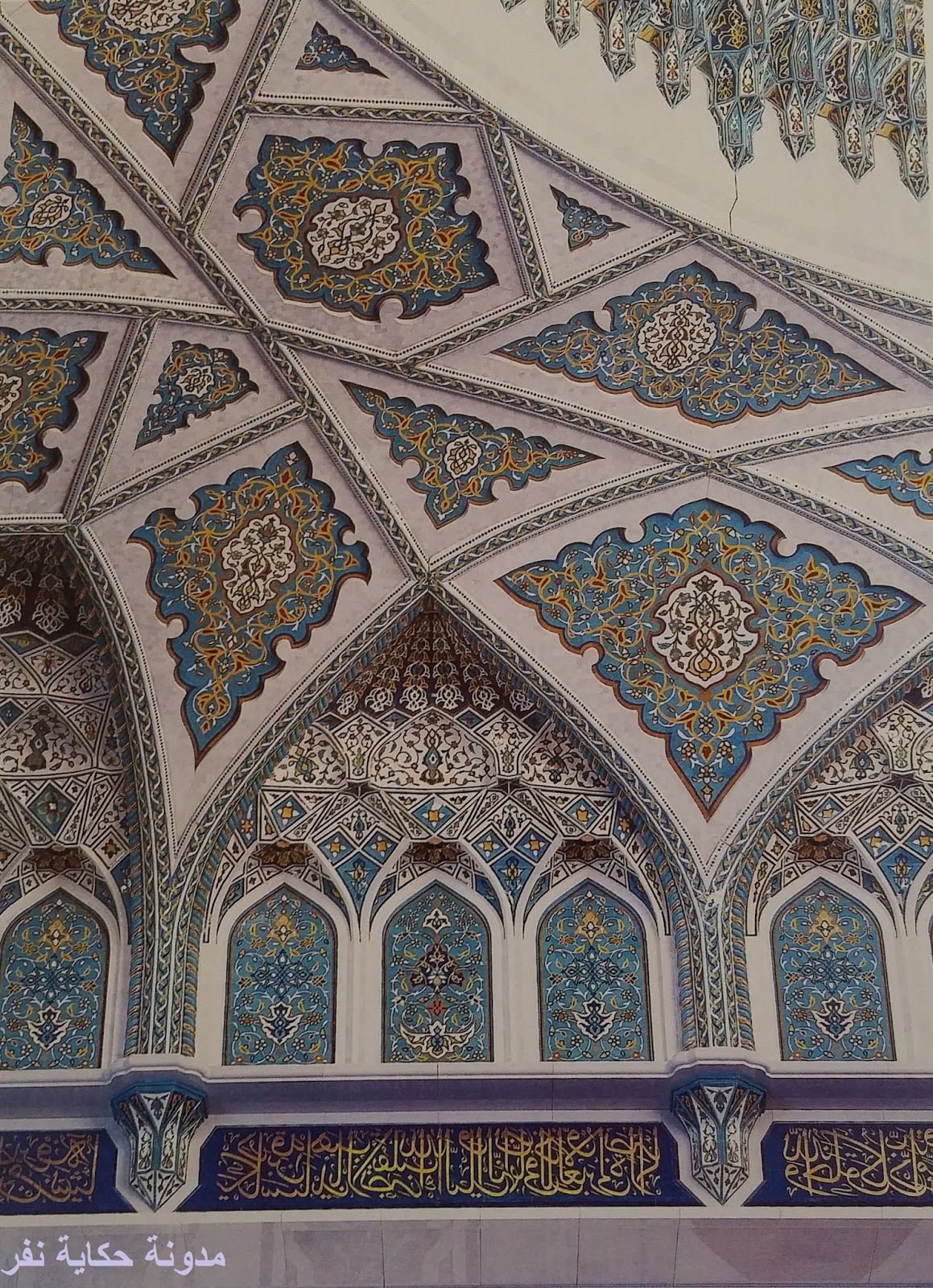
Chronology
Twenty six centuries on one hill
Every layer is still legible somewhere in the fabric. The dates below are the ones that changed what the Casbah was for.
- 6th c. BCA Phoenician trading post is established on the bay. The site has been occupied ever since.
- 10th c.Zirid foundation. Berbers build the city that becomes Algiers. The word casbah names only the citadel at its summit.
- 1516Algiers passes to Ottoman control. By the end of the century, ramparts enclose the medina we see today.
- 1674One hundred and twenty five public fountains are recorded in the city, fed by aqueducts from the hills.
- 1792Dey Hassan Pasha enlarges Ketchaoua into the principal mosque of the lower Casbah. The record gives both 1792 and 1794.
- 1830French forces land. One hundred and thirty two years of occupation begin, and the lower medina is cut apart for a new colonial city.
- 1832The French take Ketchaoua for Christian worship. It is consecrated as the cathedral of Saint Philippe in 1845 and serves as a church for about 130 years.
- 1957The Battle of Algiers is fought house by house through these streets, terraces and hiding places.
- 1962Independence. The first Friday prayer in over a century is held again in Ketchaoua.
- 1992UNESCO inscribes the Casbah on the World Heritage List under criteria ii and v.
- 2018Ketchaoua reopens on 9 April after four years of restoration.
Where to go next
Six ways into the medina

Architecture
How the walls were built, why the arcades carry what they carry, and what the tilework is doing there.

Mosques
Ketchaoua, Djamaa el Kebir, Djamaa el Jdid, Ali Bitchin and the smaller neighbourhood mosques.
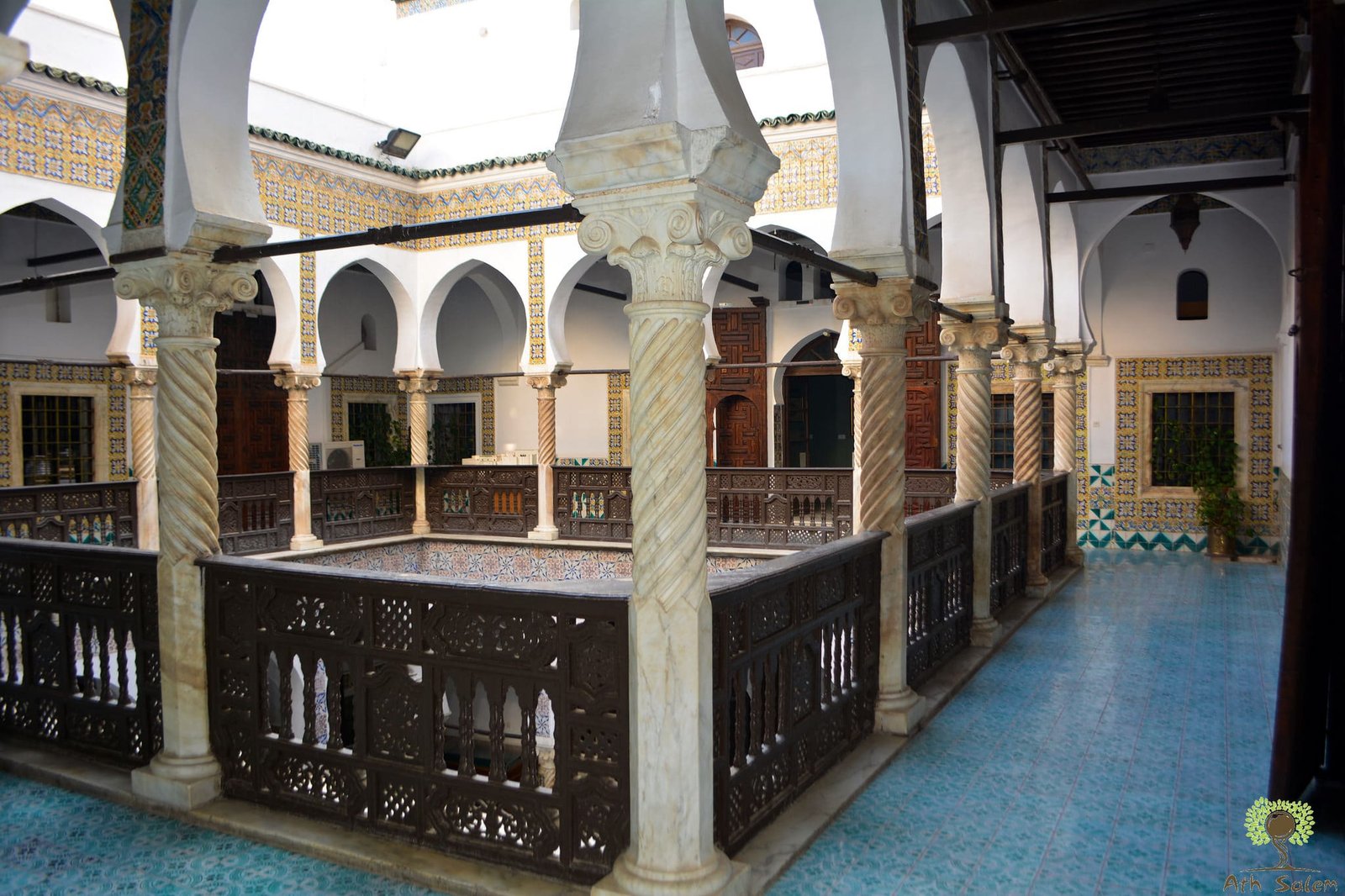
Dars and palaces
Dar Hassan Pacha, Dar Aziza, Dar Mustapha Pacha and the merchant houses that shared their language.
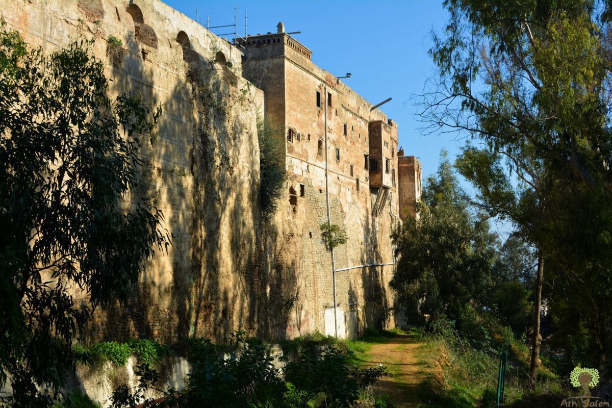
The citadel
The fortress at the summit, the ramparts that closed the medina, and the batteries that faced the sea.


Oral tradition
The boqala verses, chaabi, and the ways a crowded city kept its memory without writing it down.
One thing worth knowing
The city was measured in fountains
Ottoman Algiers had no river. Everything it drank arrived through aqueducts from the hills behind it, and was handed out at public fountains set into the walls of the streets. Counting them is the closest thing we have to a census of the city's confidence.
716th century125In 167473By 1840
Most were built in the eighteenth century by the deys. An official called the khudjat al-'uyun, the secretary of the fountains, ran an administration funded by habus endowments purely to keep them flowing. Each one carried a marble or shale plaque, in Arabic or Ottoman Turkish, naming the benefactor who paid for it.
He strives to bring running water in sufficient quantities to all places.Inscription for Dey Husayn, AH 1235 / AD 1820

The archive
What the record keeps
Engravings, plans, paintings and photographs, gathered from public collections and dated wherever the source allows it.
 1830The city modelled as it stood before the French landing
 Plan, 1830The citadel, surveyed
 OrdnanceBaba Merzoug, the bay's great gun
 DoorwayThe blank wall and the one opening
 WaterfrontThe medina meeting the harbour
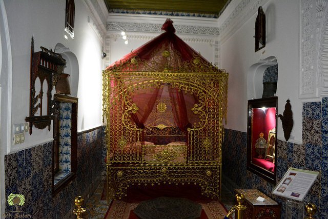 CollectionInteriors kept as they were
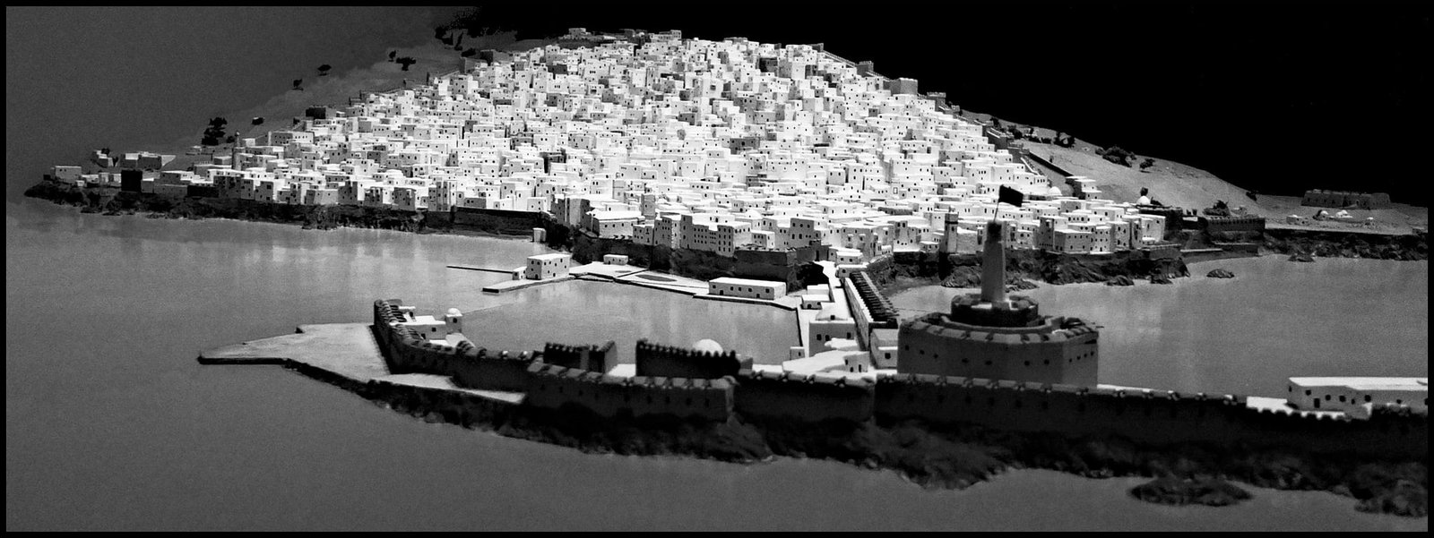 PanoramaThe whole hill, in one plate
 After darkThe lower city at night
 The lower cityWhere the medina meets the grid laid over it
Casbah of Algiers
An independent record of the medina of Algiers, its architecture, its history and its people. Written and maintained by Samir Sibachir.
© 2026 casbah-alger.comFigures on this page are drawn from UNESCO, ICESCO, Discover Islamic Art and TIKA. Sources are cited on each page.